The Maginot Line... Aquatic?
The traditional image we have of the Maginot Line is that of underground structures, of which only the combat blocks protrude from the ground. However, between Hoste, Sarralbe and Wittring, it takes on another face: it becomes “Aquatic”. But why aquatic?
Line
You have to go back over a century: the First World War is drawing to a close. Alsace and Moselle became French again after 47 years of annexation, so it was necessary to completely rethink the defence system of the north-eastern borders of the country. In the 1930s the reflections result in the creation of a discontinuous system of fortified regions which will be called the Maginot Line.
The Maginot Line
However, in 1927, Marshal Pétain asked that this hole become impracticable. The studies carried out lead to the creation, from 1932 to 1934, between Hoste, Sarralbe and Wittring, of a vast artificially flooded zone based on three rivers: the Mutterbach, the Albe and the Sarre ... An "Aquatic Maginot Line” was born.
The Trouée de la Sarre
Between the German Nied and the Sarre, the Maginot line is interrupted by an interval of about forty kilometres wide: the Trouée de la Sarre. This "Gap" is located in front of the "Saar Territory" then detached from Germany by the Versailles Treaty and administered from 1920 to 1935 by the brand new League of Nations. On this date, the people of Sarre will choose by plebiscite between their attachment to Germany, France or maintaining the status quo. In the early 1920s, therefore, it seemed impolitic to want to fortify this part of the border, as that would have prejudged the result of a vote that would not take place until 1935.
Mutterbach
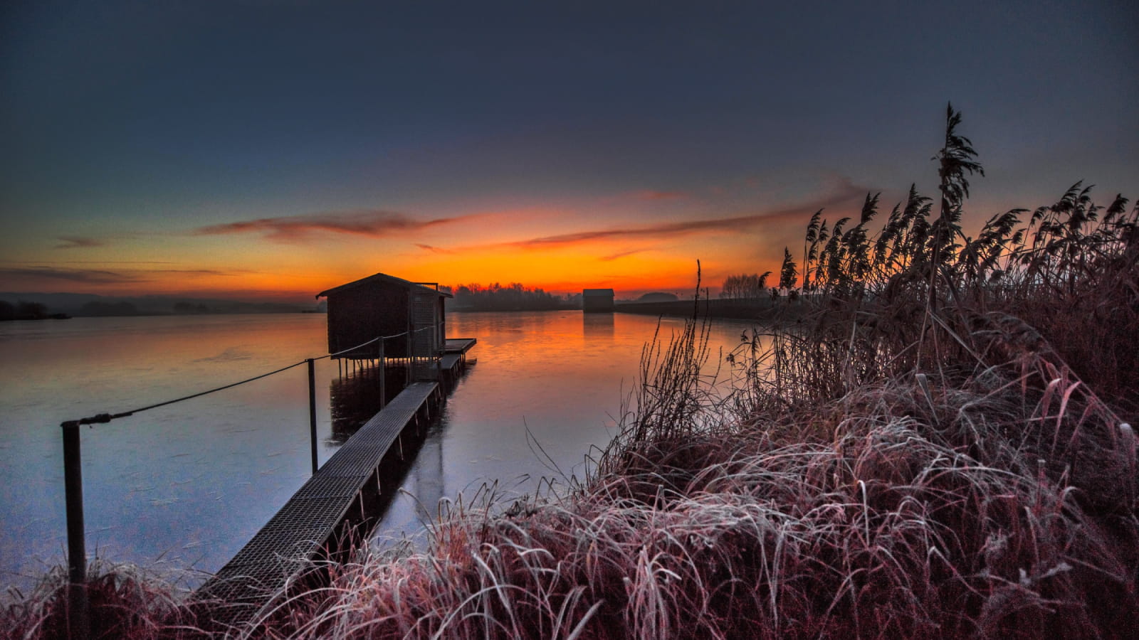
In the valley of the Mutterbach 6 reservoir ponds will be created and 5 joist dams opened in peacetime, as well as a multitude of small defence bunkers. This device flooded the area at beginning of World War II and demonstrated its effectiveness during the German attack on 14 June 1940.
Rehabilitated by the army at the beginning of the 1950s, the whole was demilitarised in the 1970s. Bought back by the municipalities in which they are located, the ponds then are used for a functional and tourist reconversion focused on water sports and fishing.


Visit the Aquatic Maginot Line
Educational panels have been put in place to bring the remains back to life. They will teach you about the history of the place and the men who lived there and who fought there in June 1940.
Also make a stop at the Musée du Pays d’Albe et de la Ligne Maginot Aquatique in Sarralbe, an essential place to understand, discover or rediscover these moments of shared memory.
TO SEE IN PARTICULAR :
The municipality of Hoste restored the automatic system for regulating the level of the pond of Hoste-Bas by siphon (the only one still in operation today) and the municipality of Rémering-lès-Puttelange has secured the surroundings of the dam on the Mutterbach and highlighted the Memorial Blockhouse Redoute 117 at the entrance to the village.

Did you know it that…?
The term Aquatic Maginot Line is neither historical nor military. It finds its origins in the title of a book written in 1989 by Paul Marque. Today, tourism has taken up this expression by creating a Route of the Aquatic Maginot Line.